
You are three days into a remote trek when your phone shows one bar, then loses service completely. A satellite communicator can still send a message, share your location, or connect you with emergency responders, but the right device depends on how you navigate, how often you message, and how much you trust your phone.
What a satellite communicator actually solves
It replaces the missing link, not your whole safety system
The basic problem is simple: mobile networks stop where many rewarding treks begin. A satellite communicator sends small packets of data through an orbiting network, allowing you to communicate from locations without cellular coverage. That does not turn a wilderness route into a connected one. Messages may take time, trees and cliffs can block the signal, and rescue still depends on weather, terrain, local responders, and accurate information from you.
Three jobs matter most on a remote route
- Two-way messaging: You can tell a contact that your group is delayed, change a pickup point, or ask for a weather update. Two-way communication matters because a one-way distress signal gives responders little context.
- Location sharing: Scheduled or manual location updates help a trusted person see where you were last recorded. A location pin is useful only when you establish a check-in schedule and someone actually watches it.
- Interactive SOS: An SOS button starts a conversation with a response center. It is not a magic rescue switch, and it is not a substitute for first aid, navigation, water, shelter, or a clear evacuation plan.
The best safety device is the one you can reach quickly, keep charged, and explain to the person at home before departure. A satellite communicator becomes much less useful when it stays buried in a dry bag.
How to prepare for an off-grid trek
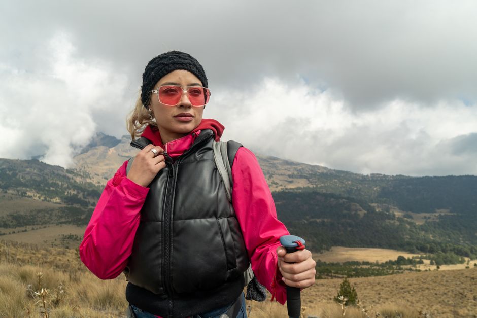
Build a check-in agreement before leaving
Choose one person who will monitor your trip. Give them your route, group names, vehicle details, planned camps, emergency contacts, and the time you expect to return. Agree on a simple rule such as a location update at 9 a.m. and 6 p.m., plus a message if you change camps. Define what happens if you miss one check-in and what happens after two. This prevents a well-meaning contact from calling for help too early or waiting too long.
Test the complete message chain
Activate the service at home, pair the app if your device requires a phone, and send a test message to the person monitoring the trek. Then test the device outdoors with a clear view of the sky. Confirm that the recipient can reply, that location coordinates appear correctly, and that the account shows the device as active. Do not count a message as successful merely because the screen says it has been sent; wait for delivery confirmation when the service supports it.
Plan for the common failures
- Carry a power bank and the correct charging cable. Cold weather drains batteries faster, so keep the communicator inside an accessible jacket pocket when temperatures fall.
- Move into an open area before sending. Dense forest, narrow canyons, and steep rock walls can delay transmission.
- Write messages with useful facts: injury, number of people, last known location, supplies, weather, and the help required.
- Download offline maps and carry a paper map, compass, headlamp, water treatment, and basic first-aid supplies.
Rules for satellite communication devices differ by country, state, park, and border crossing. No specific state law is discussed here. This is not legal advice — consult a licensed attorney before carrying a device into a jurisdiction that may regulate satellite communications.
Garmin inReach Mini 2 vs ZOLEO: what changes on the trail
The practical specifications
| Feature | Garmin inReach Mini 2 | ZOLEO ZL1500 |
|---|---|---|
| US device price | $399.99 suggested retail price | $199.00 listed price |
| Dimensions | 2.04 x 3.90 x 1.03 inches | 3.58 x 2.60 x 1.06 inches |
| Weight | 3.5 ounces, or 100 grams | 5.3 ounces, or 150 grams |
| Water rating | IPX7 | IP68, rated to 1.5 meters for 30 minutes |
| Battery claim | Up to 14 days at a 10-minute tracking interval with full sky view; up to 30 days at 30 minutes | Over 200 hours with a message check approximately every 12 minutes |
| Navigation | TracBack routing, digital compass, waypoint and course support | No on-device navigation screen; navigation runs through the paired phone |
| Satellite network | Iridium | Iridium |
The figures come from Garmin’s published Mini 2 specifications and ZOLEO’s technical specifications. Battery claims assume particular settings and sky conditions, so they are not promises for every forest or canyon.
What the table means in real use
The Mini 2 wins for a trekker who wants a standalone backup. Its small monochrome display, digital compass, and TracBack function remain useful if your phone battery dies or the phone gets wet. ZOLEO wins on entry price and message flexibility. Its app can route messages through Wi-Fi, cellular data, or satellite, and it gives the user a dedicated SMS number and email address.
My clear verdict is the Garmin inReach Mini 2 for navigation-heavy remote treks. Choose ZOLEO for a group that already carries a reliable smartphone and mainly needs messaging, check-ins, weather, and SOS.
Which communicator fits your trekking style?
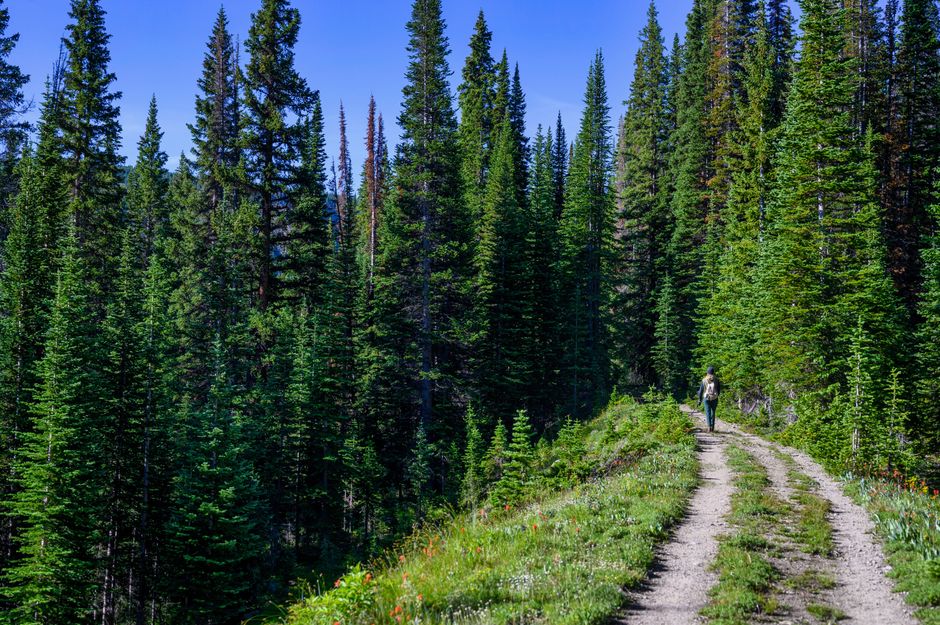
For most serious solo trekkers, I would choose the Garmin inReach Mini 2. The extra $200 buys a lighter device that can display information and guide you back along a recorded route without relying entirely on your phone. That matters after a fall, in heavy rain, or during a long day when your phone battery is already low.
Choose the Mini 2 when navigation is part of the safety plan
- Select the Mini 2 if you hike alone, take multi-day routes, or use Garmin Explore maps and courses.
- Select the Mini 2 if a 3.5-ounce device, IPX7 protection, and up to 30 days in its 30-minute tracking mode fit your trip better than a phone-dependent setup.
- Do not buy the Mini 2 solely for occasional emergency coverage if you never leave cellular service. The purchase price and required subscription may not make sense.
Choose ZOLEO when communication is the main job
- Choose the ZOLEO ZL1500 at $199 if you want a lower-cost communicator for backcountry messages and location sharing.
- Choose ZOLEO if your contacts prefer ordinary SMS or email and you want a dedicated number instead of asking everyone to install another app.
- Do not choose ZOLEO if your phone is unreliable, your battery strategy is weak, or you expect the device itself to provide route guidance.
The Garmin inReach Messenger is another useful alternative at a suggested retail price of $299.99, with up to 28 days of battery life in default settings, but it is less suited to someone who wants the Mini 2’s on-device navigation. An Apple iPhone 14 or later can send emergency messages by satellite in supported regions, yet that feature should be treated as a supplement, not a full replacement for two-way trekking communication, scheduled tracking, and a dedicated SOS service.
FAQ: subscriptions, phones, and rescue limits
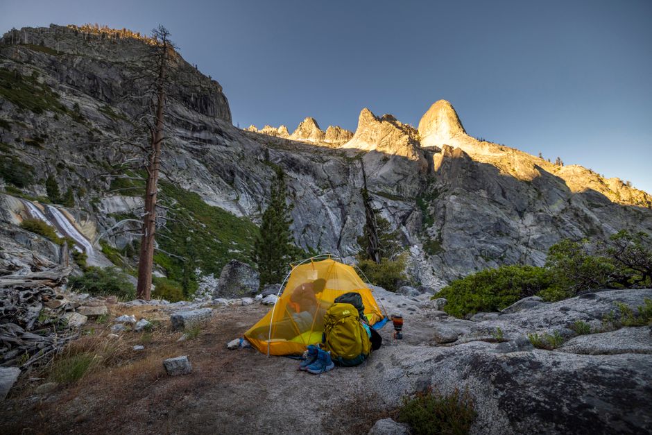
Do both devices need a subscription?
Yes. The hardware alone does not provide satellite messaging or SOS service. Garmin requires an active inReach plan, with pricing that varies by country and plan tier. ZOLEO’s US plans listed for 2026 include Prepare at $19.99 per month for 50 messages and Protect at $34.99 per month with unlimited messaging. ZOLEO also lists a $19.99 activation fee and a three-month minimum commitment for active plans. Check the terms for your country before paying, because taxes, suspension rules, and cancellation fees can change the real cost.
Can I use either device without my phone?
The Mini 2 can send messages, initiate SOS, share locations, and use basic navigation from the device itself. ZOLEO has physical controls for key functions, but custom messaging, app-based weather, and much of the communication experience depend on a paired smartphone or tablet. That difference makes the Mini 2 the safer pick for a solo trip where phone damage is a realistic risk.
Will an SOS guarantee rescue?
No. An SOS begins an interactive exchange with a response center; it does not guarantee a particular response time, helicopter, or outcome. Give responders clear details, keep the communicator powered, follow their instructions, and maintain a separate emergency plan. For a remote trek in 2026, the strongest setup is not the device with the longest feature list. It is the communicator you can operate under stress, paired with sound route planning and a trusted person who knows when to act.